Research question
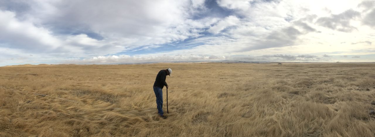
This study tested whether multispectral drone imagery, terrain attributes, and weather variables could predict surface soil moisture.
Methods
During my doctoral research at the University of California, Merced, I worked with Teamrat Ghezzehei, Josh Viers, Anna Fryjoff-Hung, and Andreas Anderson to combine multispectral drone imagery with terrain attributes and weather variables. We compared machine-learning methods and examined which inputs mattered to the predictions.
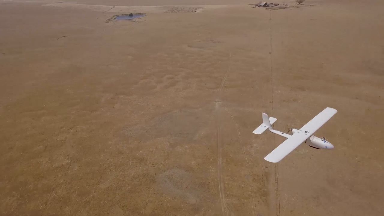
Photogrammetry produced a 10 cm digital elevation model. We derived terrain attributes at several scales and combined them with reflectance, precipitation, and potential evapotranspiration. We used soil moisture measurements collected on the ground to train and evaluate the models.
Findings
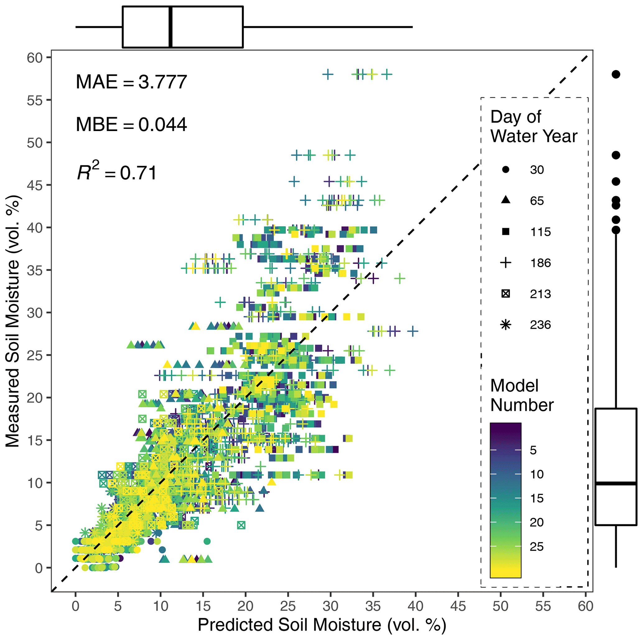
The published study found that adding terrain and hydrological variables improved predictions compared with imagery alone. Precipitation, red-band reflectance, potential evapotranspiration, and topographic position were important predictors. The paper also reports larger errors at higher soil moisture levels and a lack of training observations above about 40% volumetric moisture.